- Topographic Mapping:
- With Autocad Civil 3d, or QGIS3 (open source)
- Land Parcel Design:
- With Autocad Civil 3d
- Geospatial Analysis:
- Helps surveyors make informed decisions by overlaying different layers of information such as land use, zoning, and environmental factors. Tool Used Autcad Civil 3d
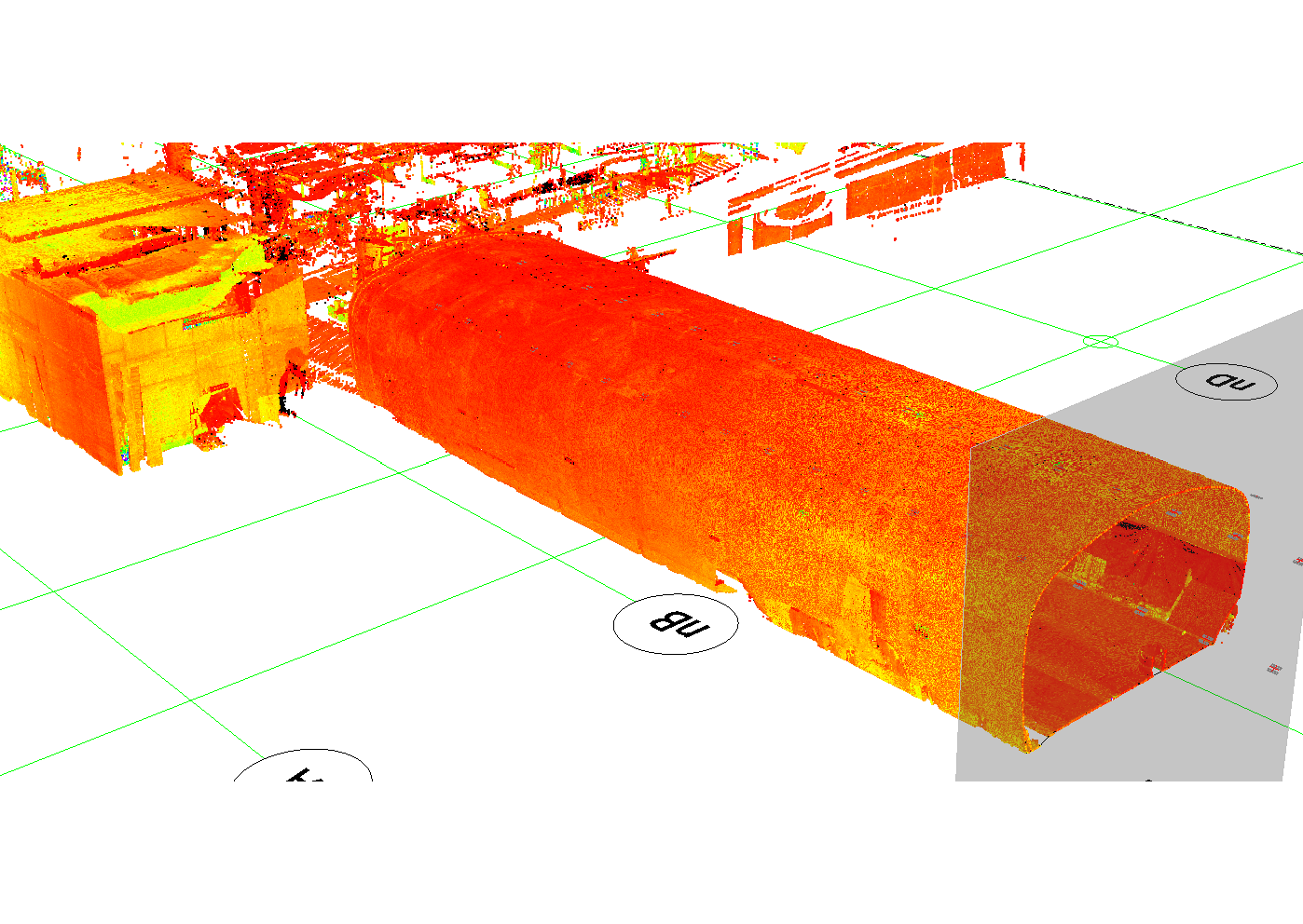
- Utility Mapping:
- CAD Documenta the location of underground utilities, providing a comprehensive view of the infrastructure landscape.
- Construction Layout:
- Detailed plan or blueprint that outlines the positioning and dimensions of various components within a construction project. It involves the precise placement of structures, buildings, roads, utilities, and other elements on a construction site according to the design specifications.
- 3D Modeling:
- 3D models with Revit of landscapes or structures, aiding in visualization and analysis of spatial relationships.
- Boundary Surveys:
- We will provide you with CAD data from the survey and documenation provided to us. The tool used is Civil #D
- Data Integration:
- CAD services can integrate with other data sources, such as Geographic Information System (GIS) databases, to provide a more comprehensive view of the surveyed area.
- Precision Drafting:
- CAD allows for precise drafting of survey plans, reducing the chances of errors and ensuring that the final deliverables meet industry standards.